CAPABILITIES
DRONE AERIAL IMAGERY

CAPABILITIES
DRONE AERIAL IMAGERY

CAPABILITIES
DRONE AERIAL IMAGERY



Unmanned Aerial
Vehicles (UAVs) in Action
Unmanned Aerial
Vehicles (UAVs) in Action
Unmanned Aerial
Vehicles (UAVs) in Action
When Compass Consulting Engineers is hired to investigate a vehicle crash, we employ meticulous methods to investigate the site of the incident. A crucial part of our investigation is a physical inspection of the crash site. We have two primary goals for this inspection. Our first goal is to document the crash site with detailed photographs that depict key aspects of the scene geometry and remaining evidence. Our second goal is to precisely measure visible scene evidence and roadway geometry.
When Compass Consulting Engineers is hired to investigate a vehicle crash, we employ meticulous methods to investigate the site of the incident. A crucial part of our investigation is a physical inspection of the crash site. We have two primary goals for this inspection. Our first goal is to document the crash site with detailed photographs that depict key aspects of the scene geometry and remaining evidence. Our second goal is to precisely measure visible scene evidence and roadway geometry.
When Compass Consulting Engineers is hired to investigate a vehicle crash, we employ meticulous methods to investigate the site of the incident. A crucial part of our investigation is a physical inspection of the crash site. We have two primary goals for this inspection. Our first goal is to document the crash site with detailed photographs that depict key aspects of the scene geometry and remaining evidence. Our second goal is to precisely measure visible scene evidence and roadway geometry.

Integrating Drones for Efficient Crash Scene Documentation
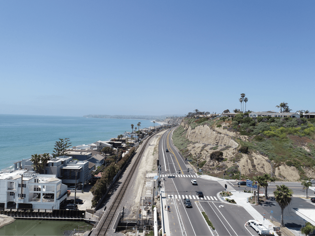
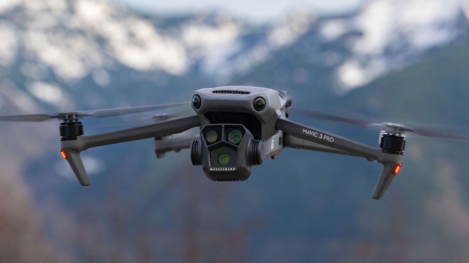
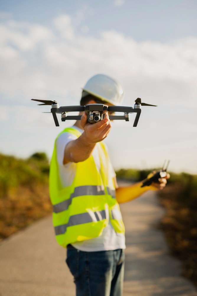
We utilize drones as a standard component of our process to efficiently and accurately document and measure crash scenes. By leveraging this UAV technology, we enhance our ability to conduct thorough investigations of large areas, providing clients with comprehensive insights and facilitating informed decision-making in accident reconstruction cases.

3D Digital Model of the Crash Site
FAA Remote Pilot Certified
Use of Ground Control Points (GCP)

Integrating Drones for Efficient Crash Scene Documentation
We utilize drones as a standard component of our process to efficiently and accurately document and measure crash scenes. By leveraging this UAV technology, we enhance our ability to conduct thorough investigations of large areas, providing clients with comprehensive insights and facilitating informed decision-making in accident reconstruction cases.


3D Digital Model of the Crash Site
FAA Remote Pilot Certified
Use of Ground Control Points (GCP)

Integrating Drones for Efficient Crash Scene Documentation
We utilize drones as a standard component of our process to efficiently and accurately document and measure crash scenes. By leveraging this UAV technology, we enhance our ability to conduct thorough investigations of large areas, providing clients with comprehensive insights and facilitating informed decision-making in accident reconstruction cases.


3D Digital Model of the Crash Site
FAA Remote Pilot Certified
Use of Ground Control Points (GCP)
OUR PROCESS
OUR PROCESS
Document the Crash
We take detailed photographs and videos from ground- and UAV-based imaging equipment to understand the area and document all variables that may have contributed to the crash.

Measure Scene Evidence
Utilizing state of the art photogrammetry software and precise GPS corrections, we turn hundreds of UAV photos into a comprehensive 3D point cloud model of the scene.
Report Findings
Our process enables us to create a detailed 3D map of the scene for use in analysis as well as an important tool to communicate findings to our clients.



FAA Remote Pilot Certified
FAA Remote Pilot Certified
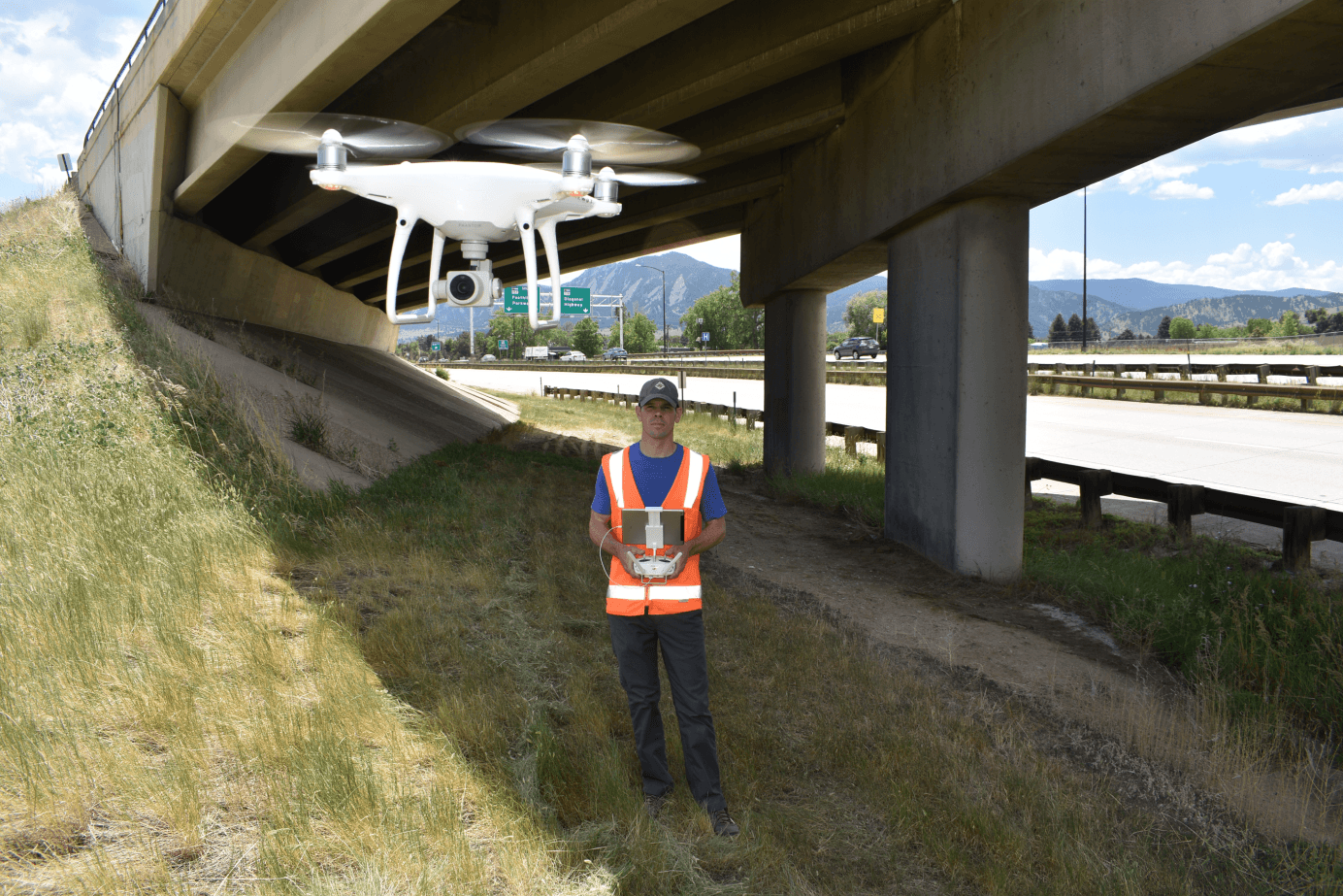
To operate a drone commercially, one must obtain an FAA Remote Pilot Certification. Compass Consulting Engineers has multiple engineers that are FAA Remote Pilot certified. Once certified, anyone can fly a drone and take aerial photographs of a crash site, but additional technology, data processing, and methodology are critical to obtaining accurate, unimpeachable data.
To operate a drone commercially, one must obtain an FAA Remote Pilot Certification. Compass Consulting Engineers has multiple engineers that are FAA Remote Pilot certified. Once certified, anyone can fly a drone and take aerial photographs of a crash site, but additional technology, data processing, and methodology are critical to obtaining accurate, unimpeachable data.

COMPASS
CONSULTING
ENGINEERS
EXPERTS IN FORENSIC ENGINEERING
& ACCIDENT RECONSTRUCTION
Compass Consulting Engineers, P.C.
10875 Dover St., # 900 Westminster, CO 80021
COMPASS
CONSULTING
ENGINEERS
EXPERTS IN FORENSIC ENGINEERING
& ACCIDENT RECONSTRUCTION
Compass Consulting Engineers, P.C.
10875 Dover St., # 900 Westminster, CO 80021
COMPASS
CONSULTING
ENGINEERS
EXPERTS IN FORENSIC ENGINEERING
& ACCIDENT RECONSTRUCTION
Compass Consulting Engineers, P.C.
10875 Dover St., # 900 Westminster, CO 80021
