The Science Behind GPS Correction for Accurate Drone Mapping
The Science Behind GPS Correction for Accurate Drone Mapping
Colin Wein, P.E.
Colin Wein, P.E.


When Compass Consulting Engineers is hired to investigate a vehicle crash, a crucial part of our investigation is a physical inspection of the crash site. We have two primary goals for this inspection. Our first goal is to document the crash site with detailed photographs so we can be familiar with the area and document any variables that may have contributed to the crash we are studying. Our second goal is to directly measure visible scene evidence and roadway geometry. Terrestrial laser scanners are commonly used to accomplish this goal by measuring millions of points over several minutes of time. The millions of points make up a point cloud which is a three-dimensional, digital model of the crash site. One of the primary purposes of creating a 3D model of the crash site is to perform photogrammetry to locate evidence that’s visible in crash scene photographs but not visible at the time of our inspection to directly measure. Another purpose of the 3D model is to document the geometry of the crash site, especially important aspects like the grade of the roadway or items that may effect visibility.
During the scene inspection, the laser scanner is mounted on a tripod and placed at one location where it measures millions of points in its immediate surrounding area. The scanner is then moved to a nearby location where it measures another set of millions of points. Once the entire area of interest is scanned, the points from each individual scan are aligned together to create one large point cloud of the entire area. Having this data is critical to our analysis but this method is time-consuming and can take an extremely long time for a large crash scene like a rollover crash, which could occur over several hundred feet, or an extended scene for use in an animation. The use of a laser scanner is also limited on highways or other roadways due to the safety of the operator or where there simply isn’t sufficient room to place a tripod.
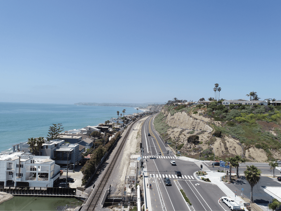
This is where Unmanned Aerial Vehicles, commonly known as drones, are extremely beneficial. Drones are becoming a standard piece of equipment for higher level accident reconstruction firms, and they are a standard part of our process to complete a detailed and thorough scene inspection. A drone is an excellent tool to obtain aerial photographs of the site and any remaining evidence and to record video of traffic flow patterns. However, drones are primarily used to create a three-dimensional, digital model of the crash site using photogrammetric techniques. Photogrammetry is the science of making measurements from photographs. The drone is flown over the area of interest in a linear pattern while taking numerous overlapping, high resolution aerial photographs along the way. Software, such as PIX4D, will take the aerial photographs and perform photogrammetric computations to solve for the 3D location of millions of points of interest. These points, called a “point cloud” are used to generate a three-dimensional model of the crash site. Flying a drone allows us to measure and document a large area in a fraction of the time that a laser scanner can and provides the ability to document roadways where the placement of a scanner is not possible. Further, the high resolution aerial images or video can provide the jury with some really clean and excellent visuals.
To operate a drone commercially, one must obtain an FAA Remote Pilot Certification. Compass Consulting Engineers employs multiple engineers that are FAA Remote Pilot certified. Once certified, anyone can fly a drone and take aerial photographs of a crash site, but additional technology and methodology is required to obtain accurate data. The drone is equipped with a GPS receiver and each photograph taken is tagged with the GPS coordinates and the angle the image was taken. The photogrammetry software uses this information to locate each camera position which is a necessary step in its analysis. GPS receivers like the ones in your phone and on the drone receive signals from satellites and measure how long it takes for the signal to travel from the satellite to the receiver. It then estimates your location using triangulation from multiple satellites.
The signals have to travel through different layers of the earth’s atmosphere which introduces error and decreases accuracy. This error is fine for things like Google Maps but it’s not good enough for our industry and what is needed to do an accurate analysis and reconstruction. Compass Consulting Engineers corrects this error with the use of Ground Control Points (GCPs). GCPs are targets placed on the ground that are highly visible and with known coordinates. The GCPs are used by the photogrammetry software to position your map with absolute accuracy by linking the calculated coordinates of a point in a photo (GCP) to an actual GPS coordinate on the ground. A GPS receiver without correction is typically accurate to within 7 – 13 feet horizontally and worse vertically. This will provide a reasonably accurate solution on flat surfaces but will require some scaling. There will be large errors in the data if a significant grade exists in the scene. Corrected GPS coordinates provides professional land surveyor accuracy within a few centimeters in both the horizontal and vertical dimension. Compass Consulting Engineers uses drones as a standard part of our process to quickly and accurately document and measure a crash scene. "

LET’S WORK TOGETHER
We’re looking forward to hearing how we can help.
Call our office at 720-458-9190 or click below.
TELL US ABOUT YOUR CASE


LET’S WORK TOGETHER
We’re looking forward to hearing how we can help.
Call our office at 720-458-9190 or click below.
TELL US ABOUT YOUR CASE


LET’S WORK TOGETHER
We’re looking forward to hearing how we can help.
Call our office at 720-458-9190 or click below.
TELL US ABOUT YOUR CASE
COMPASS
CONSULTING
ENGINEERS
EXPERTS IN FORENSIC ENGINEERING
& ACCIDENT RECONSTRUCTION
Compass Consulting Engineers, P.C.
10875 Dover St., # 900 Westminster, CO 80021
COMPASS
CONSULTING
ENGINEERS
EXPERTS IN FORENSIC ENGINEERING
& ACCIDENT RECONSTRUCTION
Compass Consulting Engineers, P.C.
10875 Dover St., # 900 Westminster, CO 80021
COMPASS
CONSULTING
ENGINEERS
EXPERTS IN FORENSIC ENGINEERING
& ACCIDENT RECONSTRUCTION
Compass Consulting Engineers, P.C.
10875 Dover St., # 900 Westminster, CO 80021